Upload a photo.
We tell you where it was taken.
Industry Solution
Security
Validate incident imagery and map threat context quickly.
[Explore workflow]Phase 1
Phase 2
Phase 3
Threat Landscape — The Data
Threats move fast. Analysts need location context in seconds, not hours.
Threat Escalation Trends (YoY Growth)
Source: CrowdStrike 2025 Global Threat Report
Image Intelligence Gap
Sources: CrowdStrike, Ontic, Social Links
Oceanir For Security Teams
How Oceanir Is Utilized
From surveillance stills to drone footage — location intelligence without metadata.
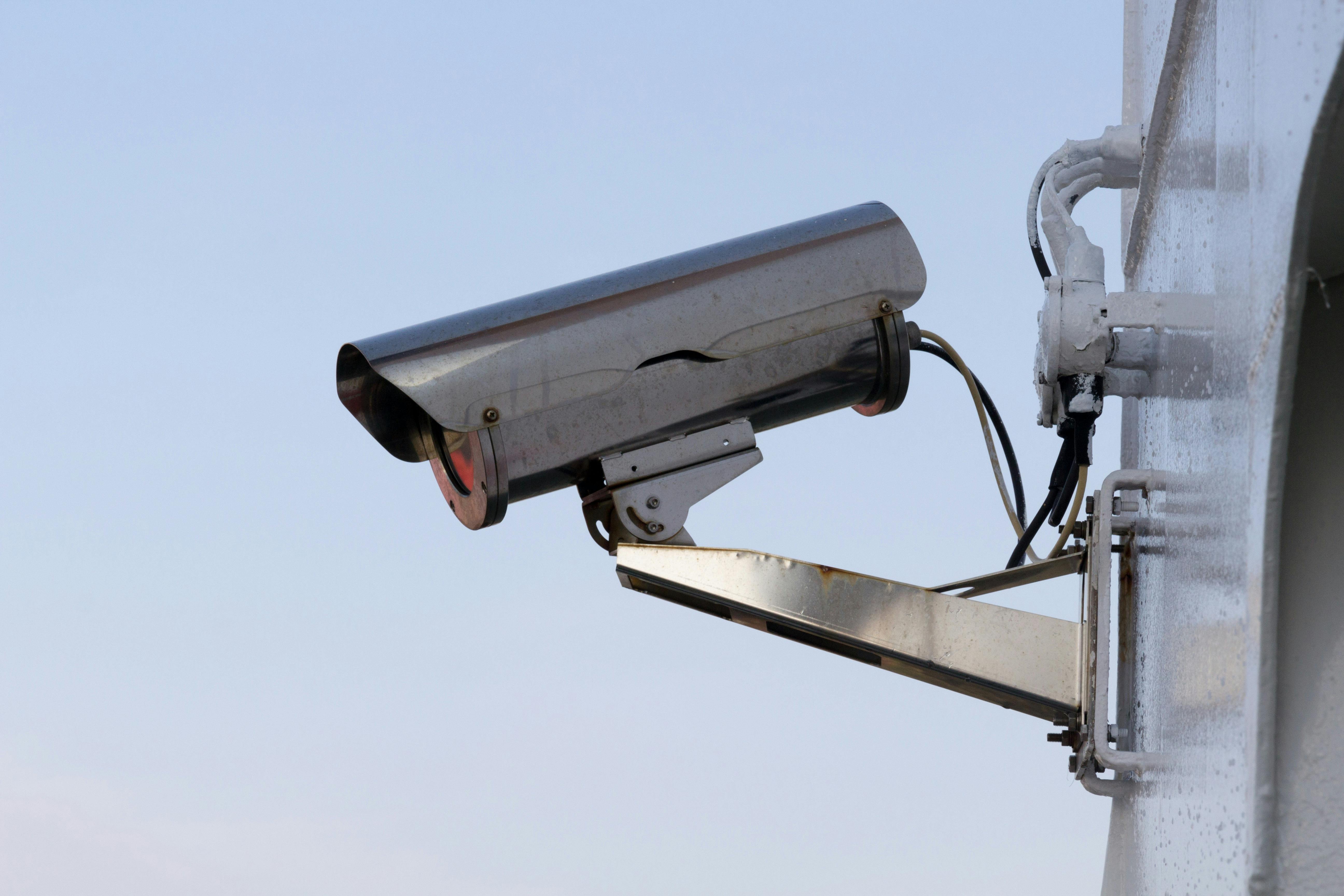
Verify vehicle locations from any image source.
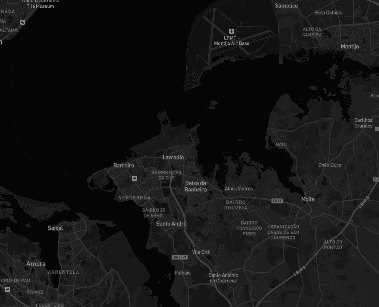
Security teams receive surveillance footage, fleet dashcam captures, and incident scene photos with no metadata. Oceanir estimates where the image was taken from visual cues alone — road markings, signage, building geometry — and returns ranked location candidates. Analysts verify whether a vehicle was actually at the claimed location, cross-reference with patrol routes, and flag discrepancies in minutes instead of days.
Geo-estimate drone and aerial imagery without flight logs.
Drone footage arrives at operations centers without GPS tracks — stripped by compression, obfuscated by operators, or simply missing from commercial platforms. Oceanir matches terrain patterns, infrastructure geometry, and environmental context to estimate the capture location. Analysts verify perimeter breach claims, confirm airspace incident reports, and corroborate field intelligence against visual ground truth.
Stingray Scene Modeling
Competitive Reality
Other tools search for copies. Oceanir estimates where an image was taken.
Verify threats faster
When incident reports arrive as unstructured images, Oceanir gives analysts location context in seconds so triage moves faster.
Start a projectWhy Oceanir
Oceanir fills the gap between manual map work and simple reverse-search tools. It is built for analysts who need speed and a clear evidence trail.
Request A Pilot
Run Oceanir on your threat imagery
We set up a 30-day proof-of-concept against your incident imagery. No integration required — just image files and report IDs. You get threat verification reports with geospatial evidence for every flagged submission.
Most tools index reposted media. Oceanir focuses on location inference for new imagery and returns confidence-ranked candidates.
Yes. Enterprise workflows can be configured for stricter handling of investigative data and controlled access.
No. Stingray complements geo-estimation by reconstructing a scene from multiple images for deeper spatial analysis.
Treat output as analyst-grade intelligence with confidence and evidence, then validate against internal sources.