[ 01 ]
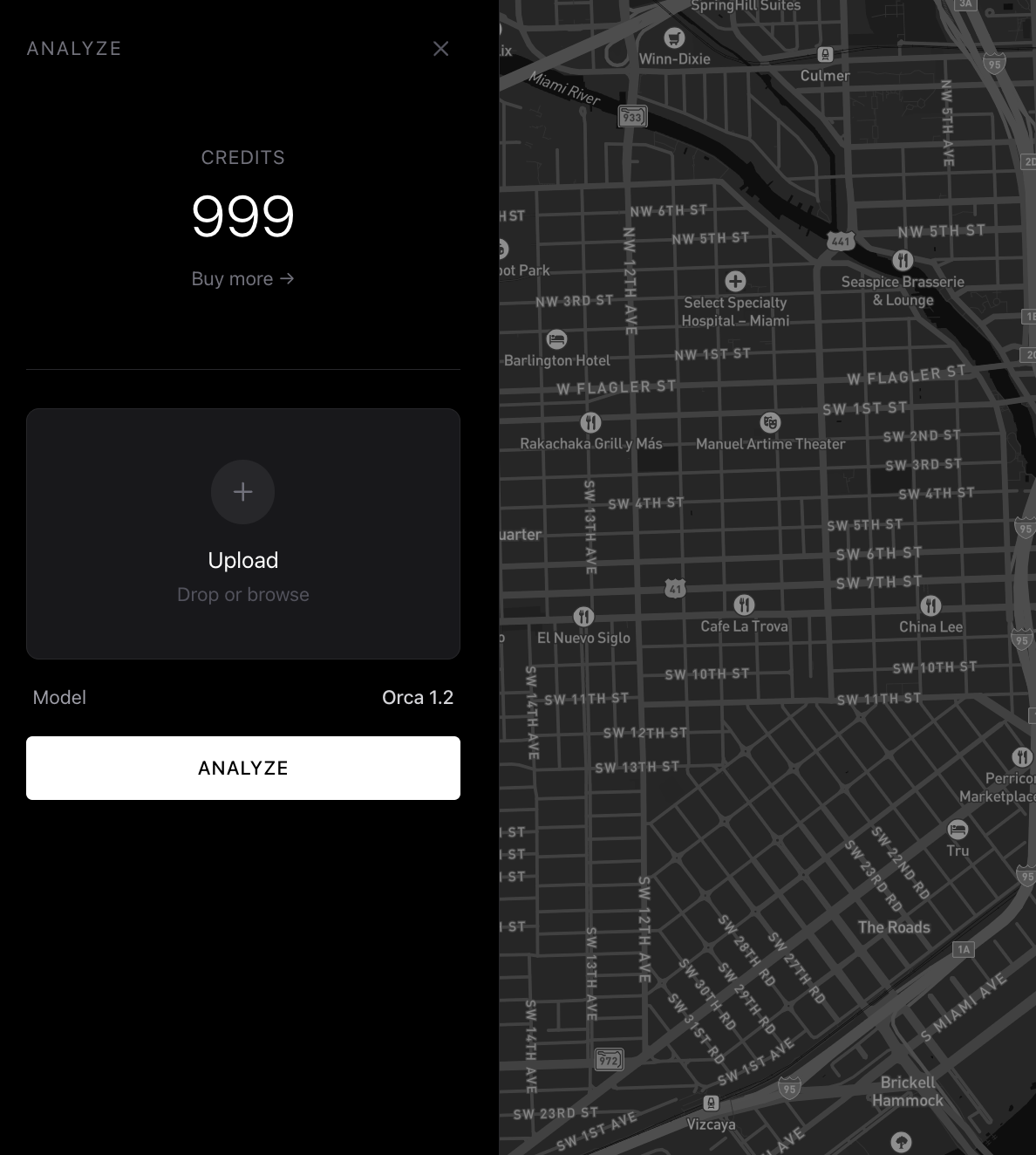
Upload a photo.
We tell you where it was taken.
Phase 1
01: The Numbers
Oceanir helps reporters and open-source teams place photos quickly, even when GPS is missing. You get ranked location options with evidence an editor can review right away.
<10sResponse Time
Street-LevelTypical Precision
Global rolloutModel Coverage
Analysis
Workflow
Evidence
Phase 2
02: How It Works
01Upload a frame, still image, or source submission.
02Oceanir matches visual cues and returns ranked location options.
03Analysts review evidence overlays and confidence context.
04Editors publish with a documented verification trail.
Phase 3
03: Use Cases
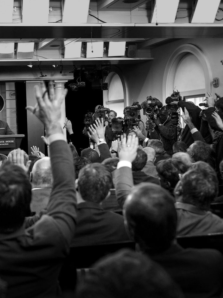
Conflict Footage Validation
Cross-check viral war-zone clips before quoting, publishing, or escalating.
Breaking News Triage
Prioritize incoming UGC by geo-estimation confidence so teams move faster.
Source Material Authentication
Verify if a contributor-provided image matches claimed time and place.
Misinformation Response
Produce evidence-backed location assessments during fast-moving narratives.
NewsroomsConflict reportersVerification desksOSINT journalists
Set up newsroom verification
Run a pilot for editorial, investigations, or standards teams.
Start a projectValue Upfront
Results Follow
Why Oceanir
Oceanir is built for net-new image location work, not just finding reposted copies. Analysts keep the final call.
No. It compresses investigation time and gives ranked evidence, but the analyst and editor remain the decision makers.
Reverse image search finds matching uploads. Oceanir estimates where a new image was taken, even if it has never been posted before.
Every result includes confidence-ranked options and visual evidence. It is not a black-box single guess.
Oceanir focuses on location verification, not identity. No facial recognition and no long-term storage by default.