Oceanir
BLOG
PRICING
⌘K
↑↓Navigate↵SelectescClose
[ 7 suggestions ]
BLOGSOLUTIONSPRICINGUSE CASESGET STARTED
Solutions/Insurance
[ 01 ]

Upload a photo.
We tell you where it was taken.

Industry Solution

Insurance

Verify claim imagery and catch location fraud earlier.

Oceanir helps insurers verify where claim photos were captured, flag staged submissions, and route suspicious files to SIU before payout.

[Explore workflow]

Phase 1

01:   The Numbers
Oceanir helps insurers verify where claim photos were captured, flag staged submissions, and route suspicious files to SIU before payout.
<10sClaim Review Speed
Street-LevelTypical Precision
~$0.43Cost Profile
Insurance
01:Analysis
02:Workflow
03:Evidence

Phase 2

02:   How It Works
01Ingest claimant image at FNOL or adjuster review stage.
02Compare claim narrative to ranked location output.
03Escalate mismatches to SIU with supporting evidence.
04Approve straightforward matches faster with less manual effort.
Try It Now
Workflow

Phase 3

03:   Use Cases
Staged Incident Detection
Identify photos that do not match the claimed incident location.
Fast-Track Honest Claims
Use geo-estimation confidence to speed low-risk claims through review.
Adjuster Workflow Support
Give adjusters location context before site visits or payout decisions.
Portfolio Fraud Analytics
Track recurring geo-estimation anomalies across claim cohorts and channels.
SIU teamsClaims operationsFraud prevention unitsAdjuster managers
Use cases

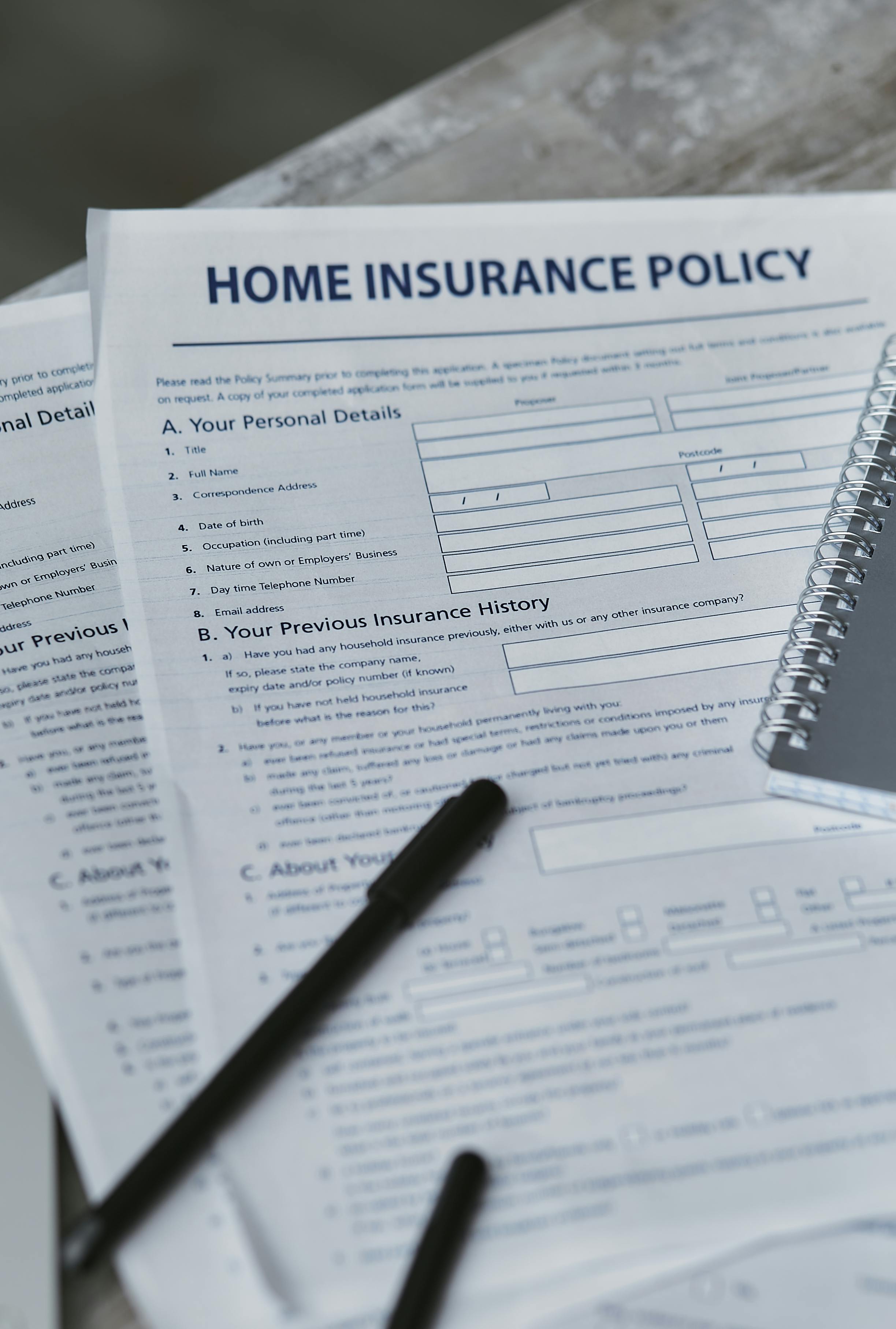
Insurance Fraud — The Data

The fraud problem is getting worse. Oceanir catches what adjusters can't see.

Annual U.S. Fraud Cost by Line ($B)

Property & Casualty$45B
Healthcare$68B
Workers Compensation$34B
Auto$29B
Life Insurance$15B

Source: Coalition Against Insurance Fraud, FBI IC3

Claims Fraud Prevalence

20%
Fraudulent claims
of all U.S. claims
30%
Altered images
in flagged submissions
10%
P&C losses
attributed to fraud

Sources: USI, Shift Technology, Guidewire 2026

What This Costs

$308.6BAnnual U.S. fraud loss
$900Added per policyholder
1 in 100Images with suspect metadata
5 in 1,000Duplicated across claims

Sources: InsuranceFraud.org, Verisk Digital Media Forensics

Review risky claims with better location evidence

Use geo-estimation to catch location mismatches and staged scenes earlier, then route the right files to SIU.

Start a project
Value Upfront
Results Follow

Why Oceanir

Oceanir solves a different problem than OCR or metadata checks. It estimates capture location from scene cues and returns ranked, reviewable evidence.

Request A Pilot

Run Oceanir on your claims data

We set up a 30-day proof-of-concept against your live claim photos. No integration required — just image files and claim IDs. You get a fraud-detection report with geospatial evidence for every flagged submission.

01Send us a batch of claim images
02Oceanir processes and flags mismatches
03Receive a fraud-detection report with evidence

FAQ

All Solutions

Oceanir is designed for no-GPS, no-metadata scenarios. The image itself drives the estimate.

No. It is a verification layer that supports claims and SIU teams with faster evidence.

Yes. It can triage high claim volumes by surfacing confidence-ranked location matches.

Use confidence to prioritize manual review. High-confidence mismatches are strong escalation candidates.

Oceanir

Have a pilot or live case in mind?

Talk to us

Company

  • Pricing
  • Contact Sales

Resources

  • Documentation
  • Blog
  • Coverage

Social

  • X (Twitter)
  • GitHub
  • Discord

Public Sector

  • Law Enforcement
  • Corrections
  • Education & Campus
  • Transportation
  • Emergency Response

Business

  • Retail & Grocery
  • Healthcare
  • Logistics
  • Corporate Security
  • Manufacturing

Media & Legal

  • Journalism
  • Legal Teams
  • Insurance
  • All solutions

By Use Case

  • 01
    Crime Scene AnalysisGeo + Property workflow
  • 02
    Vehicle RecoveryStingray + Geo workflow
  • 03
    Claim VerificationGeo + Property workflow
  • 04
    Missing PersonsGeo-estimation workflow
  • 05
    Organized Retail CrimeStingray + Geo workflow
  • 06
    Media AuthenticationGeo-estimation workflow

© 2026 Oceanir. All rights reserved.

Terms of ServicePrivacy PolicyCookie Policy